Blog #1: Where does wind begin?

I honestly don't know where this came from. I think I read it somewhere, but it got me thinking. Wind is always there, but where does it start?
Okay, this one may seem like a very stupid question. Or a very easy one. Wind has something to do with the rotation of the Earth. But the answer seems to be more nuanced than that.
Let's first start with some basics.
What is wind?
Wind is nothing but air that moves. But you might be thinking — air is invisible, how do we measure its movement?
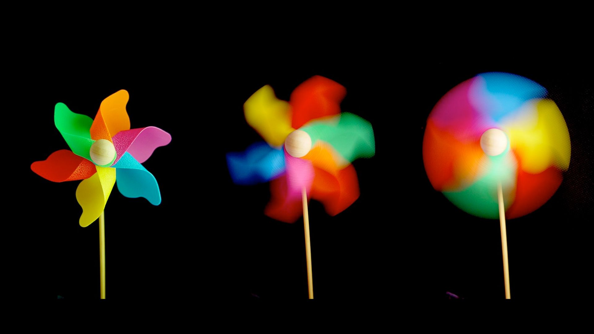
The answer is through its effects on objects. For example, you may have noticed a whirligig or pinwheel (pictured below) spinning faster when it's windier. The scientific instruments used for measuring air movements are known as wind vanes (for direction) and anemometers (for speed).
So, wind = moving air. Awesome. But, how does air start moving?
The sun
While many factors influence the movement of wind, the main reason for its formation is the heat from the sun.
Here's a simple flowchart to help understand how this works.
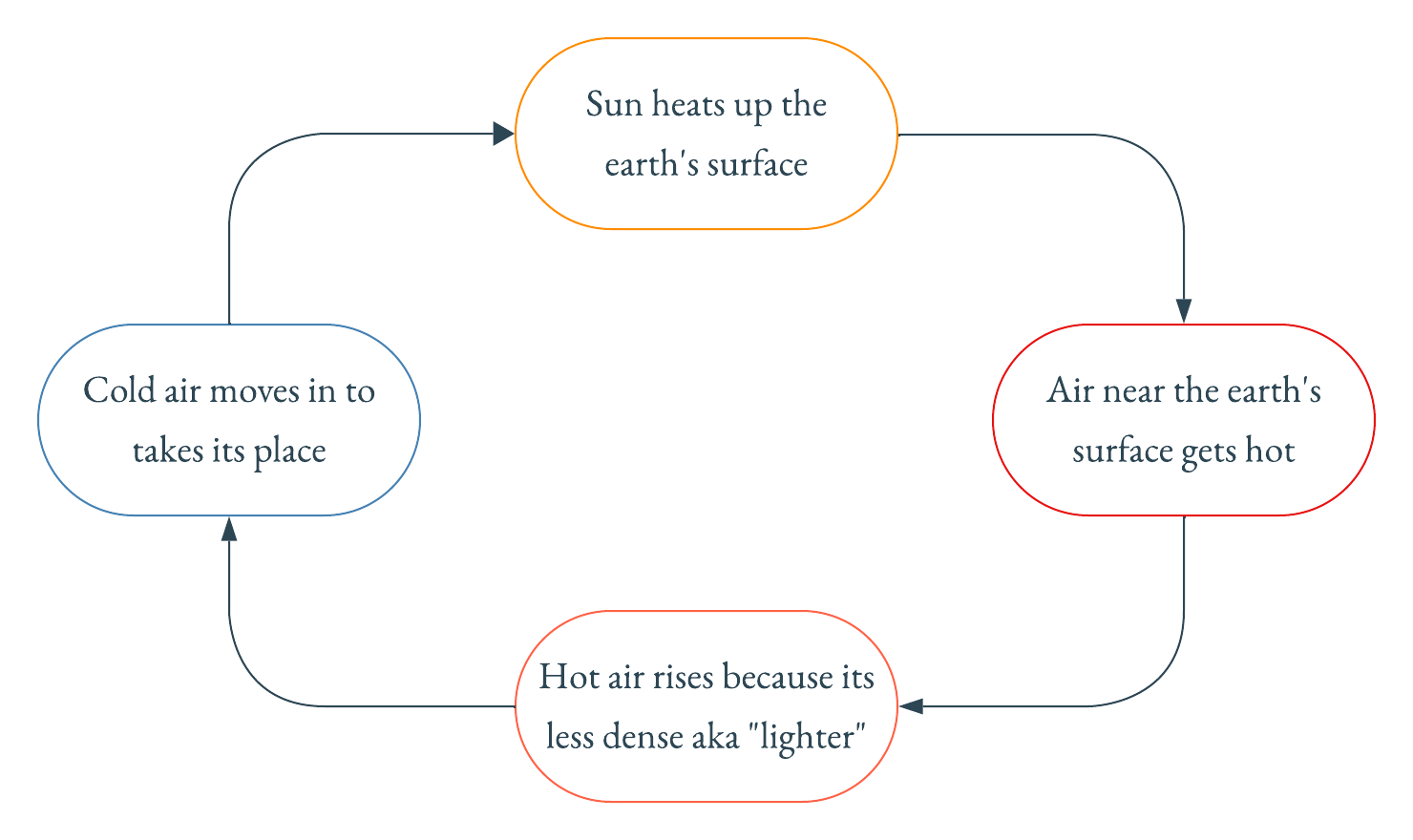
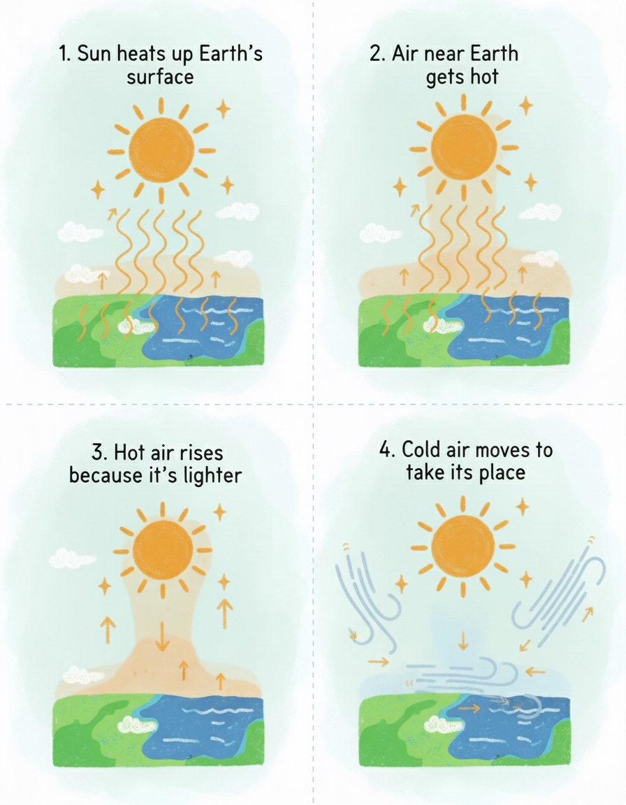
The horizontal movement of the cold air to fill in the space left by the hot air is the origin of winds. Here's a visual representation of the same.
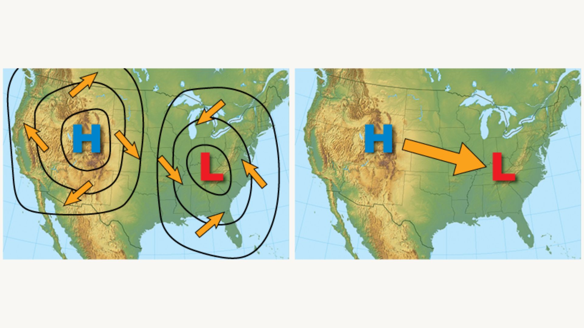
This is where things get interesting.
Nature doesn't like this imbalance and wants to reach a state of neutrality or equilibrium. Air naturally flows from high-pressure spots to low-pressure spots, working to even out the difference.
This creates what meteorologists call a "pressure gradient," essentially a pressure difference between these regions. Here’s the thing: the sharper that pressure difference, the faster the air moves — and that’s what creates high-speed winds.
Picture pressure systems as hills and valleys. Air flows "downhill" from high to low pressure, just like water running down from a mountain into a valley.
You might think that's it. The story ends here. But there's more to the story. The Earth's rotation and geography also have a role.
Forces governing wind movement
If air simply flowed straight from high-pressure areas to low-pressure areas, weather forecasting would be remarkably simple. We'd have predictable, straight-line winds, and storms would move in neat, orderly patterns.
But that's not what happens.
What we get instead are spiraling hurricanes, curved jet streams, and elaborate wind patterns circling pressure zones. Why? Because three forces work together to govern how air actually moves across our planet.
The pressure gradient force is what we've already discussed — the push that drives air from high to low pressure regions.
But the Earth doesn't sit still.
The Coriolis force arises because the planet spins. The air flows in straight lines while Earth rotates beneath it, bending the air's trajectory. In the Northern Hemisphere, moving air gets deflected to the right. In the Southern Hemisphere, it curves to the left.
If you want a more detailed explanation of the Coriolis effect, you can check out this video.
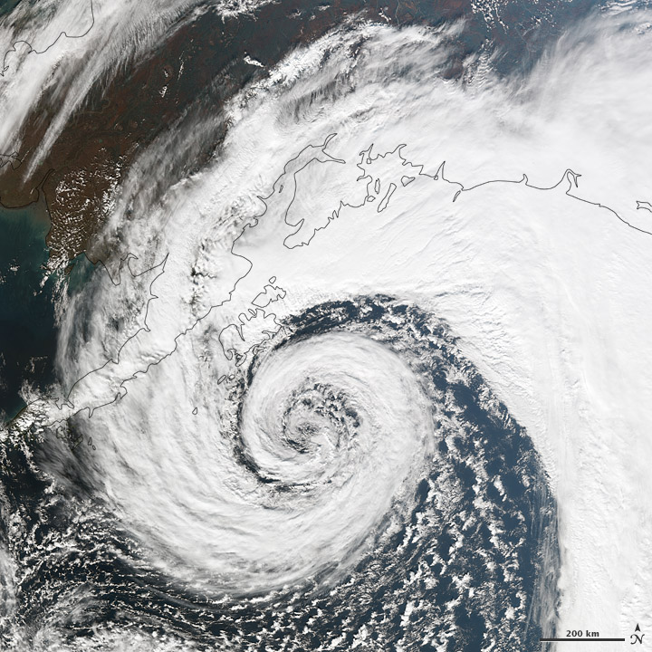
The result is that air spirals around low-pressure systems rather than flowing straight in — counterclockwise in the Northern Hemisphere and clockwise in the Southern. This is what gives hurricanes their spin.
Conclusion
So, wind's origin? It all starts with the Sun.
That gentle breeze you feel on a cool autumn evening and a hurricane wreaking havoc across towns are contrasting phenomena shaped by the exact same forces.
They both begin with the sun heating Earth unevenly. Air flows from high to low pressure in both cases. Earth's rotation deflects them into characteristic patterns. And surface friction influences both.
The difference isn't in the physics — it's in the scale and intensity.
A light breeze and a catastrophic storm obey identical rules; the difference is in the pressure gradients, scale, and energy involved. Understanding wind means recognizing all forms of wind are governed by the same fundamental laws.
The next time you feel wind on your face or see a weather map, you'll know: it all begins 150 million kms away, with sunlight striking Earth's surface.